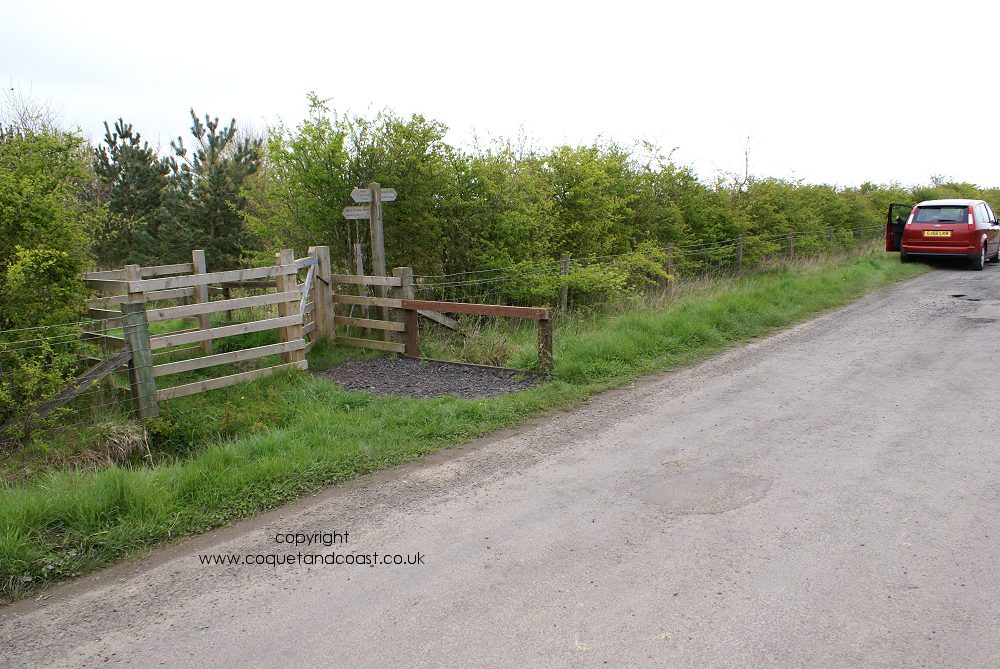
I've been asked several times now where the commemorative plaque is located that marks the site of Chevington Drift.
the grid reference of the location is NZ 26242 99095
or
latitude /longitude is 55.285288 -1.5883881
or
x and y coordinates are 426242 599095
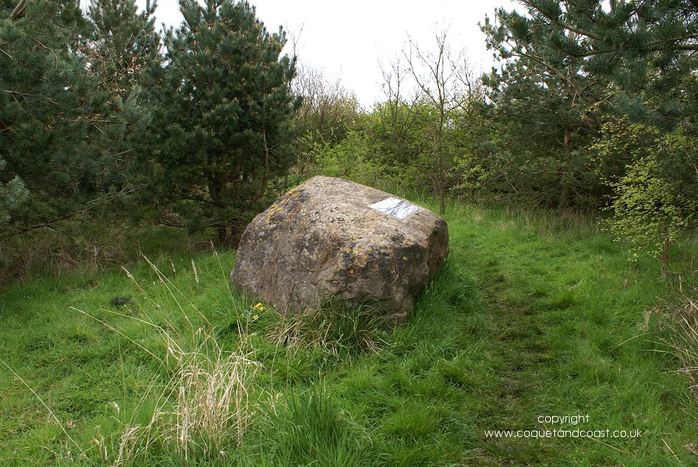
if you copy and paste the decimal lat/long numbers into google maps search it will show the point eg:
55.285288 -1.5883881 marked with a green arrow (
not the red marker) the limestone boulder the plaque is mounted on is visible on that map.
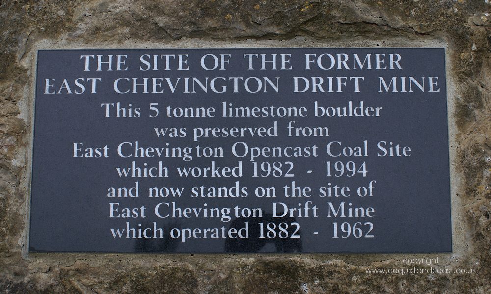
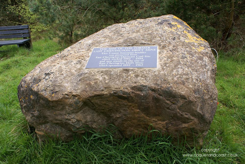
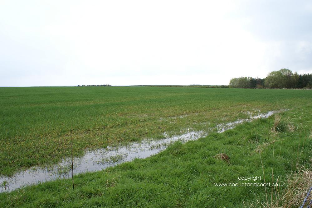
The site of the former East Chevington Drift Mine.
This 5 tonne limestone boulder was preserved from East Chevington Opencast Coal Site
which worked 1982 – 1994 and now stands on the site of the East Chevington Drift Mine which operated 1882 - 1962.

 25-04-2012, 11:38 AM


 Linear Mode

