|
|
|
|||||||
| We no longer use activation emails. Please allow 24h after sign up and your account should work |
 |
|
|
Thread Tools | Display Modes |
|
|
|
#1
 24-06-2018, 03:49 PM
|
||||
|
||||
|
Now the various online websites give the location of this as "55.36649749 , -1.698633111"
put this into google maps and you end up here: https://www.google.co.uk/maps/place/...5!4d-1.6986331 which looks like farm buildings south of Shilbottle. 
|
|
#2
24-06-2018, 03:58 PM
|
||||
|
||||
|
Meanwhile to the north, between Bilton and Bilton Banks, on the roadside, is this:
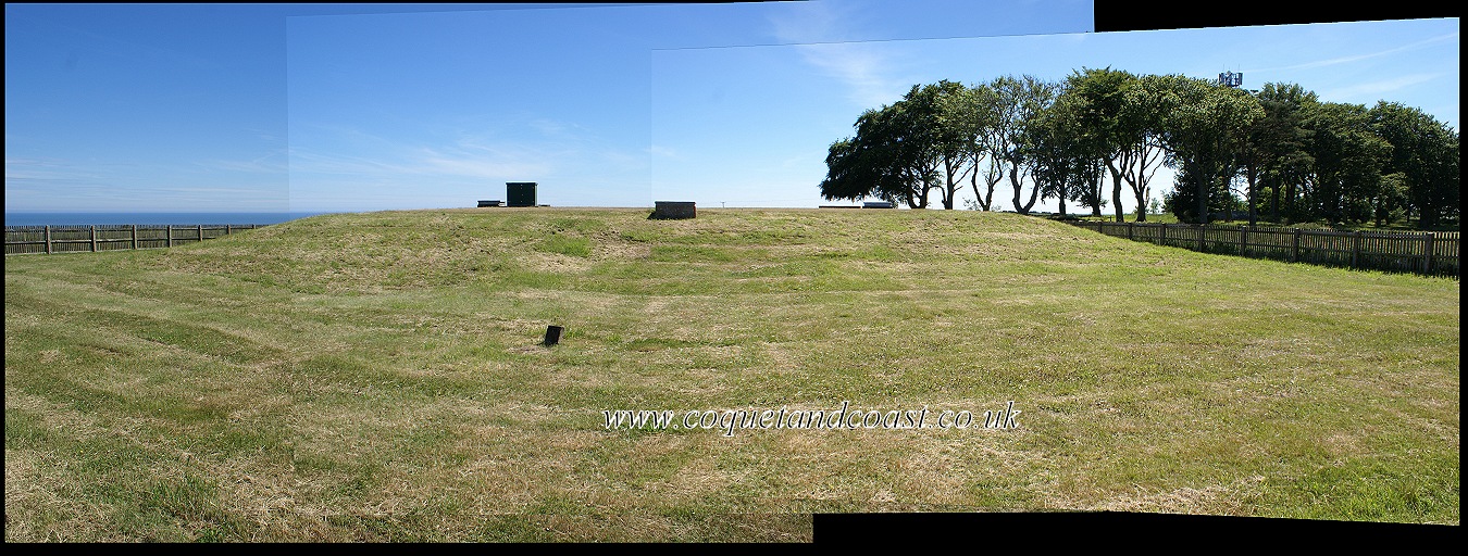 had to join 3 photos together to get it all shown. Coquet Island is just nicely hidden behind it. 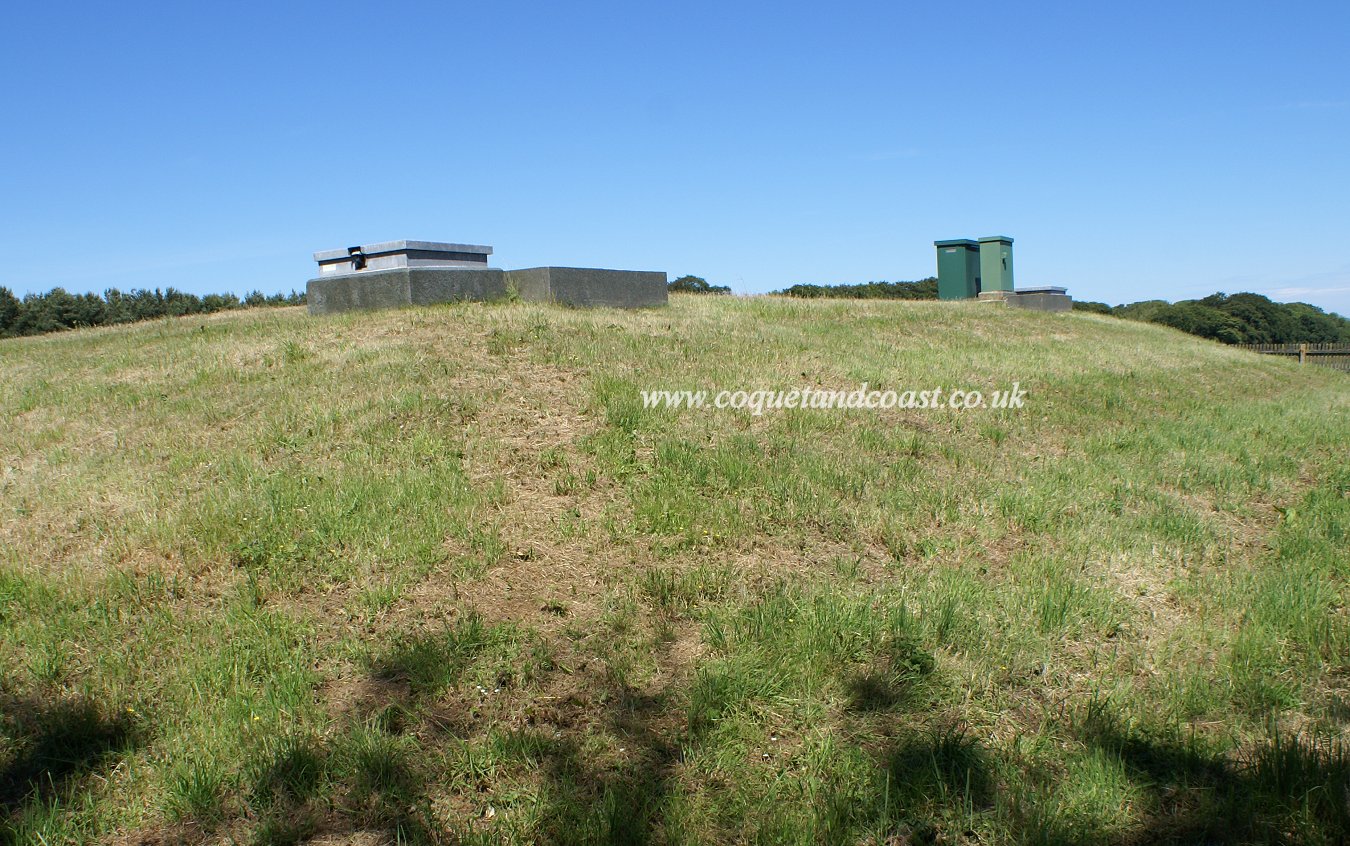 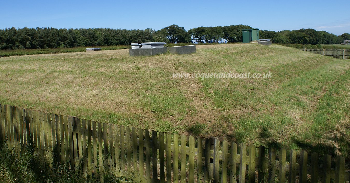 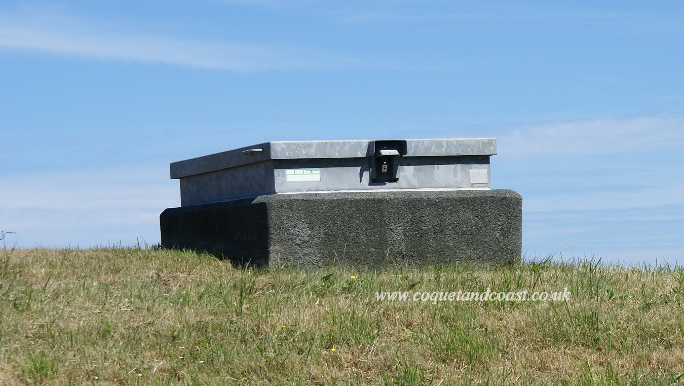 [photographed 24th June 2018]
|
|
#4
24-06-2018, 04:01 PM
|
||||
|
||||
|
|
|
#5
24-06-2018, 06:48 PM
|
||||
|
||||
|
Your first reference is right, the mast at Hill Head Farm Shilbottle was where the ROC bunker was. Your second photo above Bilton is a water reservoir.
If you have any ROC questions, that 1950s generation still has some former members about the area and I can get questions answered for you! Last edited by hollydog; 24-06-2018 at 06:52 PM.
|
|
#6
24-06-2018, 07:26 PM
|
||||
|
||||
|
Quote:
I think there is something at the foot of the mast visible on google street view: https://www.google.co.uk/maps/@55.36...7i13312!8i6656 is that it?
|
|
|
|


 Hybrid Mode
