|
|
|
|||||||
| We no longer use activation emails. Please allow 24h after sign up and your account should work |
 |
|
|
Thread Tools | Display Modes |
|
#6
 30-01-2012, 03:26 PM
|
||||
|
||||
|
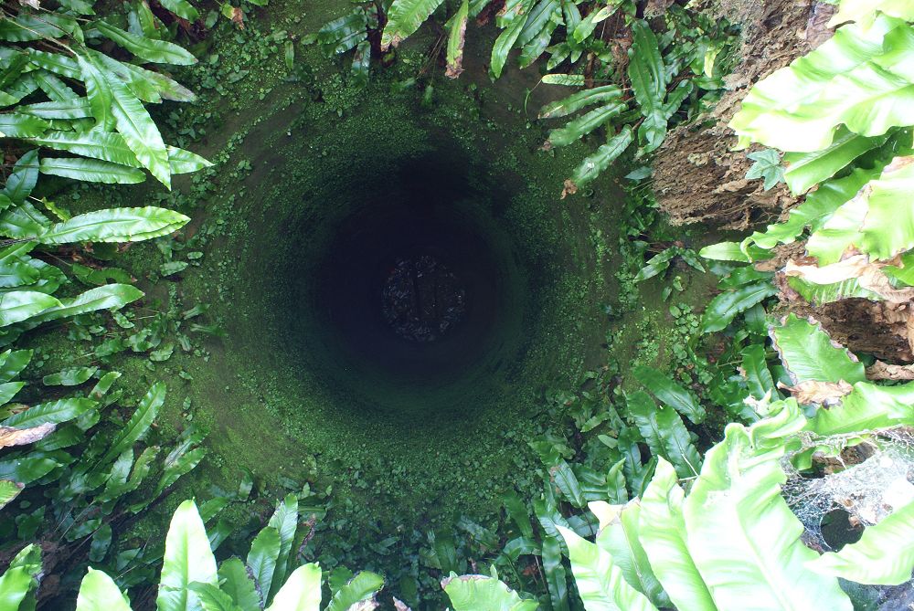
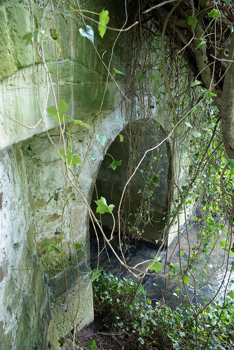
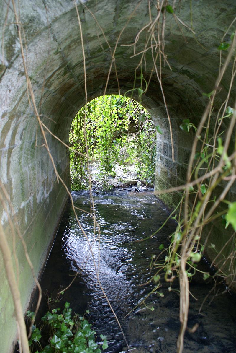
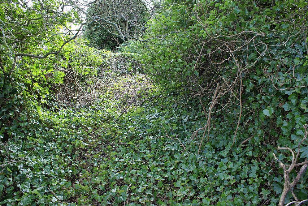
No, wrong direction. It is on a bus route, under 2 miles from Warkworth station (your first guess?), if you sit on the left side of the bus going to Alnwick you can see it, not obvious now because of the foliage, but an old stone arched road bridge is certainly there.

|
|
#8
02-02-2012, 10:18 PM
|
||||
|
||||
|
It is on the Warkworth to Shilbottle road next to where it crosses the burn at the Low Buston junction. The burn being the one that comes off the old pit heap ( Tylaw burn?) and runs alongside the road often flooding it. It is well hidden under the foliage, I presume it was unsuitable for the pit buses and large traffic as it looks to be single carriageway.
Want anymore teasers?
|
|
#16
15-02-2012, 06:45 PM
|
||||
|
||||
|
Shall we discreetly find out whose responsibility it is?
I would like to know its history - any idea how old? I bet someone at NCC is quietly hoping it is forgotten about but what would happen if it became dangerous, not to mention blocking the stream and flooding the road etc.?
|
|
#17
15-02-2012, 06:47 PM
|
||||
|
||||
|
Quote:
|
|
#19
16-02-2012, 09:26 AM
|
||||
|
||||
|
Quote:
Not sure if they would want to hear about it though - I think they're in "neglect if possible" mode at the moment to save money. I see the Hallbank well area in Amble (for example) was being maintained for a number of years; it's back to jungle now!
|
|
|
|


 Linear Mode

