Coquet and Coast Forum
Don't forget to check out our sister site: Amble and District

Go Back   Coquet and Coast Forum > Local History, Genealogy, People and Places > The Lost Villages, Radcliffe and Chevington Drift.

 We no longer use activation emails. Please allow 24h after sign up and your account should work
 
 
Thread Tools Display Modes
Prev Previous Post   Next Post Next
  #1  
Old 25-04-2012, 11:38 AM
Coquet's Avatar
Coquet Coquet is offline
Administrator
 
Join Date: Feb 2010
Location: Amble
Posts: 3,253
Default Chevington Drift Plaque Location

I've been asked several times now where the commemorative plaque is located that marks the site of Chevington Drift.

the grid reference of the location is NZ 26242 99095

or

latitude /longitude is 55.285288 -1.5883881

or

x and y coordinates are 426242 599095

if you copy and paste the decimal lat/long numbers into google maps search it will show the point eg: 55.285288 -1.5883881 marked with a green arrow (not the red marker) the limestone boulder the plaque is mounted on is visible on that map.
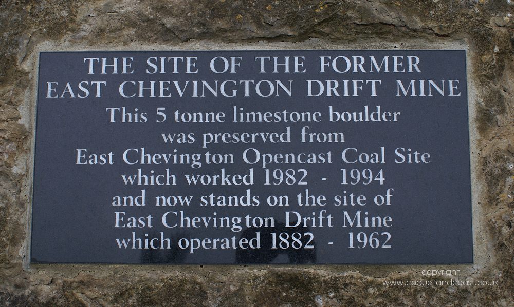


The site of the former East Chevington Drift Mine.
This 5 tonne limestone boulder was preserved from East Chevington Opencast Coal Site
which worked 1982 – 1994 and now stands on the site of the East Chevington Drift Mine which operated 1882 - 1962.
Reply With Quote


Posting Rules
You may not post new threads
You may not post replies
You may not post attachments
You may not edit your posts

BB code is On
Smilies are On
[IMG] code is On
HTML code is Off

Forum Jump


All times are GMT. The time now is 10:37 PM.


Powered by: vBulletin
Copyright ©2000 - 2024, Jelsoft Enterprises Ltd.