http://maps.google.co.uk/maps?q=low+...,0.005659&z=18
This sits between two streams on a elevated plateau in front of Low Buston Hall.
There's not much to see on the ground but linear structures are visible on google maps (see above)
Footpaths to this site on a usability scale of 1-10 , = 1

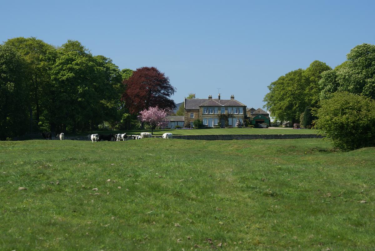
Picture on the ground- actual site of the village is the flat area which has cows grazing in the middle:
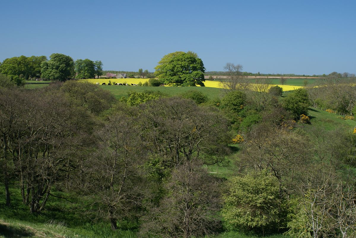
closer:
The lumpy foreground is the village site, with Low Buston Hall in the background.