|
|
|
|||||||
| We no longer use activation emails. Please allow 24h after sign up and your account should work |
 |
|
|
Thread Tools | Display Modes |
|
|
|
#1
 19-07-2016, 08:57 AM
|
||||
|
||||
|
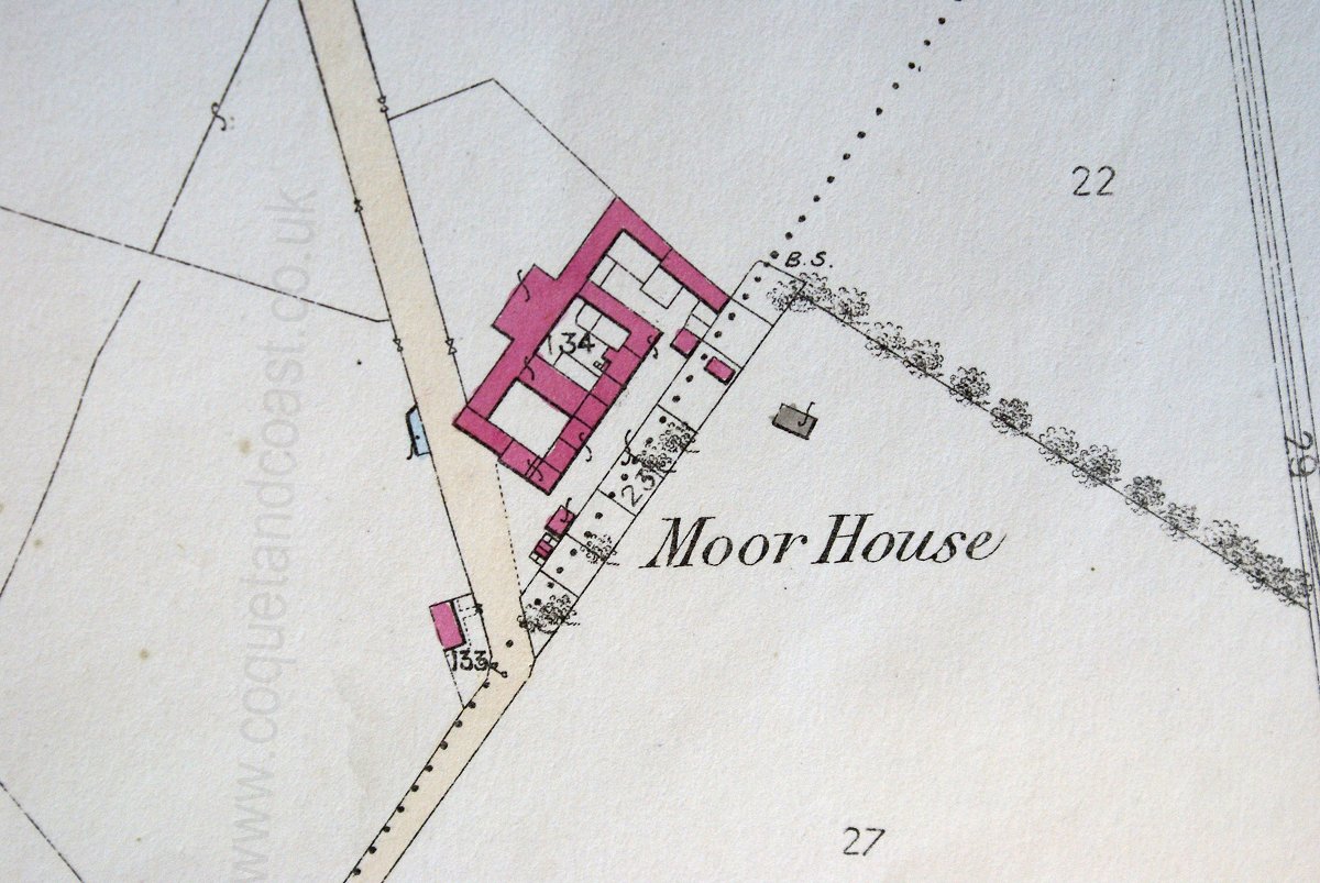
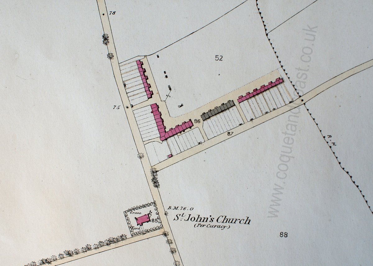
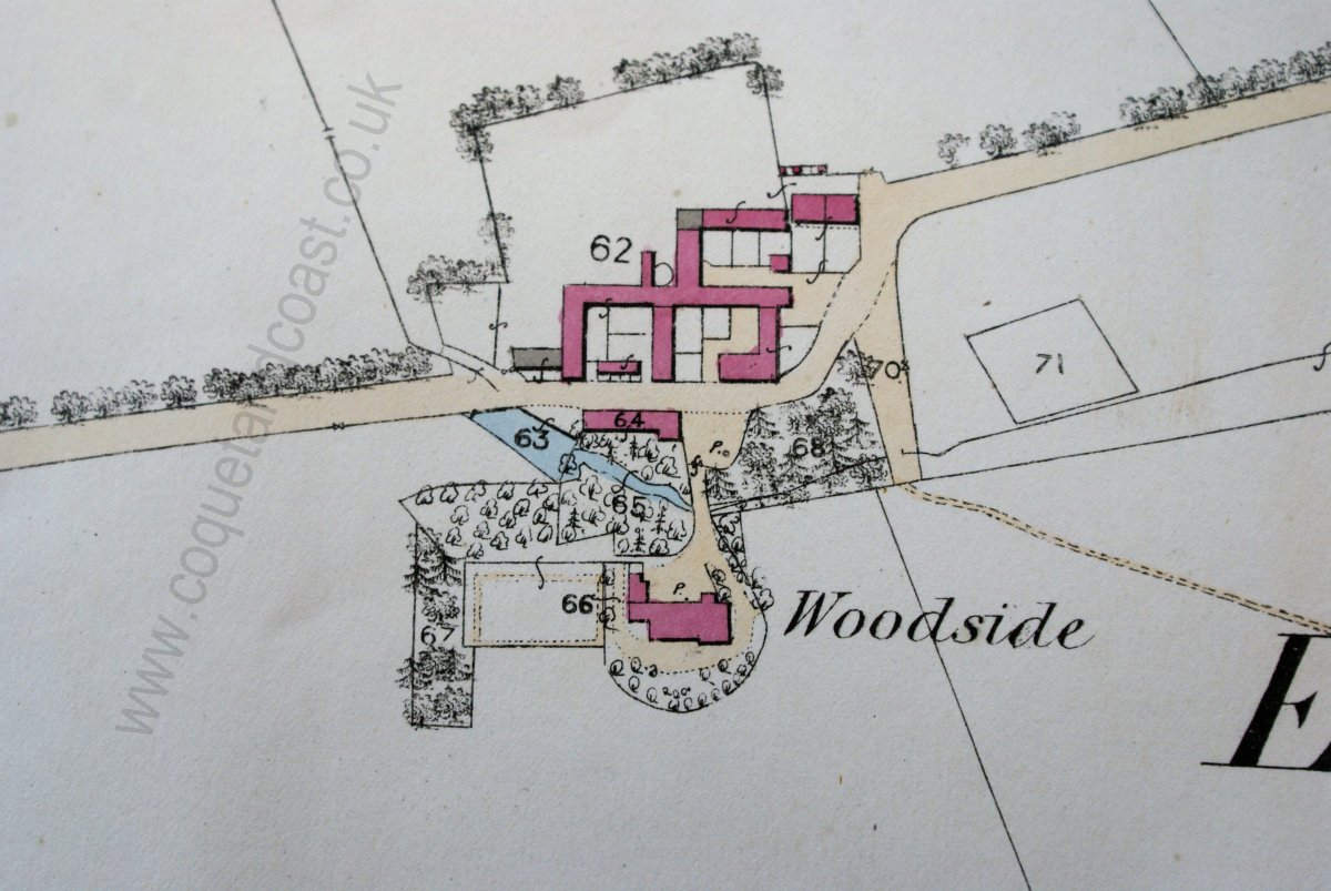
A few weeks back I took a few photographs of some of the 25 inch maps of the area (south) to add to the map page eventually. In two minds about doing this as we now know the Library of Scotland will eventually have the lot on their website.
Cleaning up the images takes an age, but you can produce some nice maps from scruffy photos. Anyway, here's one for South Broomhill 1923 before and after: 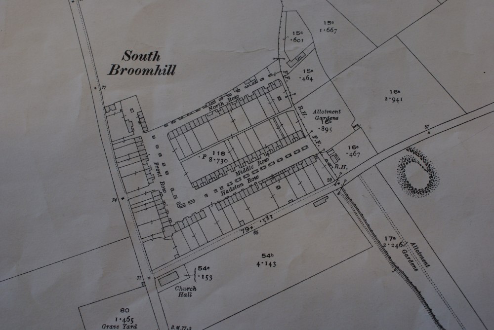 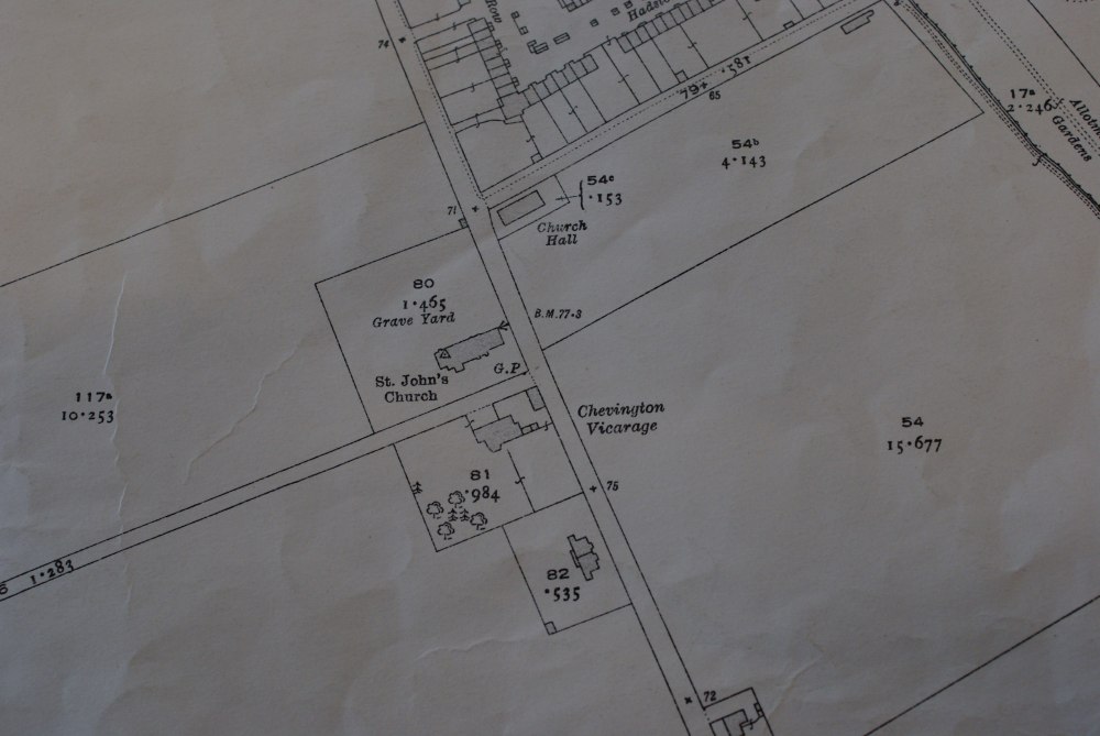 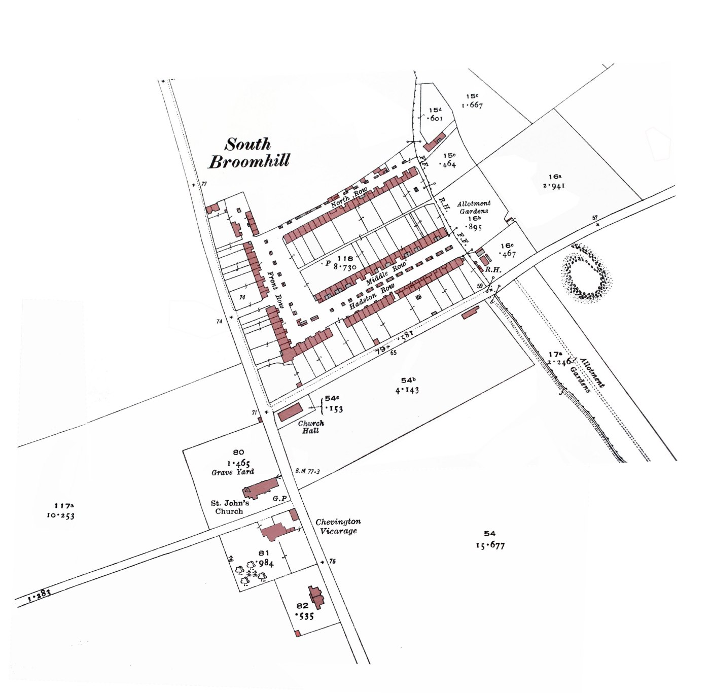

|
|
|
|


 Hybrid Mode
