They must have been using explosives on the beach in 1910; the National Archives holds this document:
http://discovery.nationalarchives.go...s?uri=C6395921
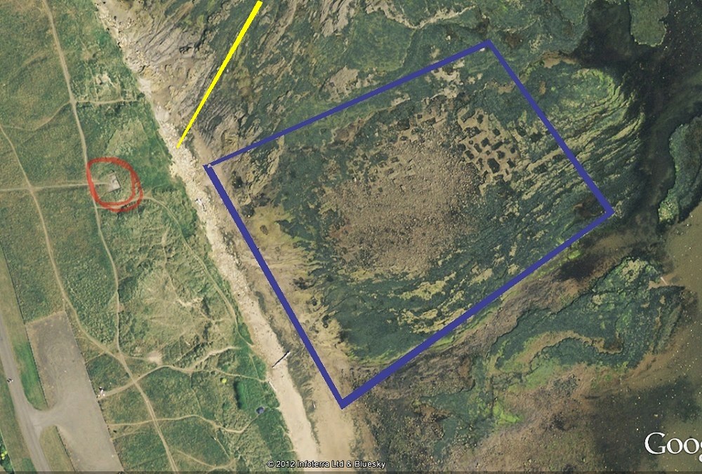
This is the area I believe in blue, lots of rectangular pits, merging into an extensive broken mass. The yellow line is the axis of an anticline fold as mentioned in the geology memoir above. The whole mined area is another anticline but a bit more subtle to detect.
There's a line of more circular looking pits along the western edge of that blue square - the could be the shafts mentioned in the geology memoir which have workings under the dunes. It would suggest about 10 metres of erosion in about 80 odd years.
[ © 2012 Google Infoterra Ltd and Bluesky ]
Does anyone know what the concrete platform was? (ringed in red above) I thought it must be the isolation hospital (
see this map) but it can't be as it's in the wrong position.
 .
.