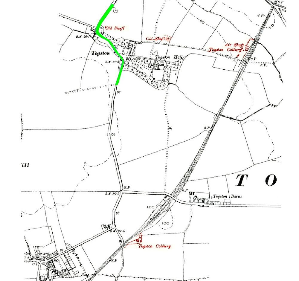
Togston Colliery, 1890s OS map.
"Togston bends" marked in green.
There was a line of shafts at North Togston, E-W. two abandoned at this time; with the exception of the one closest to the road these will now have been open-casted I think. The operational one at North Togston on this map is shown to be for ventilation, although it looks "busy" on the map with sidings and buildings so perhaps a means of access for materials/coal and/or men too.
I assume the Colliery proper is the one closer to Togston Crescent/North Broomhill?